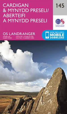
Description A walk with everything from woodland paths and traditional ‘green lanes’ to open fields and spectacular sea views
Start The walk starts from the bus stop on the road just before the road drops down to Tresaith beach, if you are on the beach, take the steps just beside the Ship Inn to the bus stop.
- Tresaith From the bus stop cross the road and take the path through the gate which curves up the hill and behind the caravan park. The path here is full of shrubs and flowers and you are very likely to see birds and butterflies.
- After the climb, the path proceeds along the cliff tops with fields to your right and fantastic views across Cardigan Bay as far as the mountains of Snowdonia.
- A sloping field surrounded by hawthorn is crossed leading to a style before the path forks above Penbryn Beach. Either take the left hand path down through the woods to the beach, or
- Take the right hand path which leads to the National Trust car park and café by way of a beautiful stretch of natural woodland with a stream which is crossed on a small bridge. A pleasant diversion before you drop down is on the right to the tiny Penbryn church.
- It is possible to do this as a circular walk using the beach one way, but you will need to time it right in order not to get caught out by the tides. If in doubt – don’t do it.
Accommodation
- Glaneirw Coach House Aberporth
- Tremle Holiday Cottage Tresaith
- Clifftop Railway Carriage Aberporth
- Fern Cottage Aberporth
- Aelwyd Y Don – Tresaith
- The Beach House Carreg Las Tresaith
- Golygfa Mor Tresaith Holiday Property
- Pen y Graig Aberporth
- Cwmberwyn Holiday Cottage Tresaith
- Tegfor Tresaith Holiday Property
- Cwtch Carys Aberporth
- Delyn Aur Tresaith Holiday Cottage


